Walk Shop

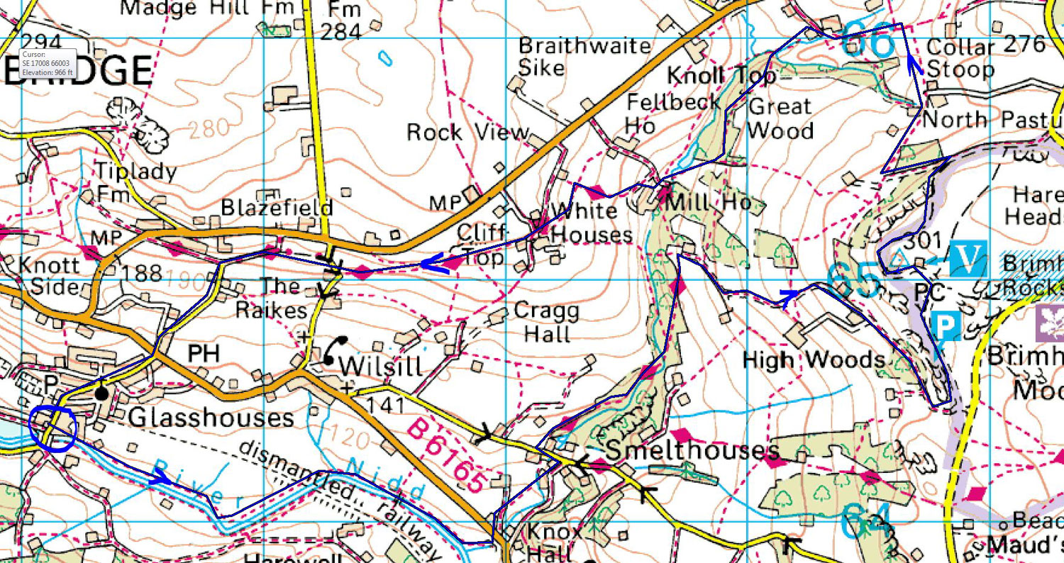
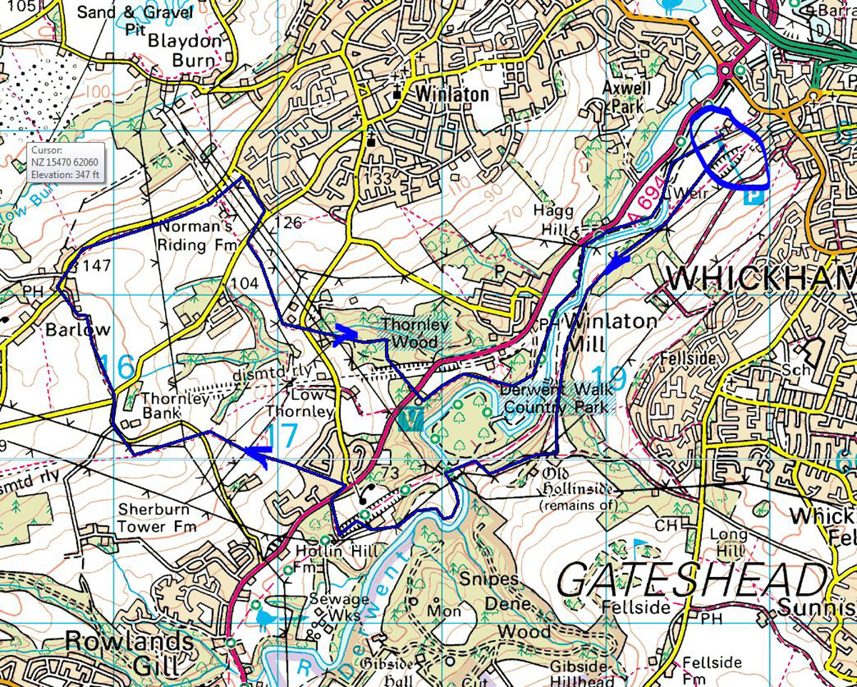
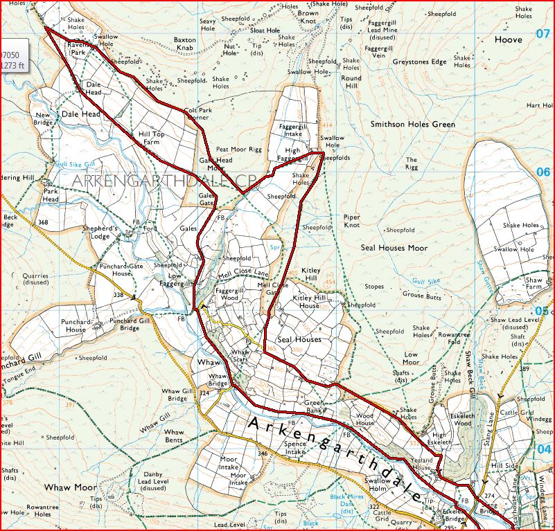
Below are listed some possible walks. Not too many details of the walk are included, but all will be of about 10 miles unless otherwise stated. With the brief descriptions a thumbnail map is provided. Select the thumbnail image of the map to obtain a larger sized image. Close the new window that opens to return to this page.

WALK INDEX, - select a possible walk from the list below to be taken to a brief description with a map
BOLTBY - TANG HALL - STEEPLE CROSS
BRIMHAM ROCKS
CHOP GATE - BILSDALE (LOW LEVEL)
DERWENT VALLEY WALK
FANGDALE BECK - LASKILL BRIDGE
HUTHWAITE GREEN - WHORLTON MOOR
KIRKBY - CRINGLE MOOR
PAWLAW PIKE AND FIVE PIKES
PEN-Y-GHENT FROM HORTON-IN-RIBBLESDALE
POCKLEY MOOR
UPPER ARKENGARTHDALE FROM LANGTHWAITE
WHERNSIDE

WALKS FROM THE PAST WORTH REPEATING

HAWES- COTTERDALE, - walked when the weather was poor, Needs to be walked in fine weather.
CRAYKE - TERRINGTON. A linear walk, - to be repeated on a fine Spring / Summer day
SINNINGTON - CROPTON. Really enjoyable in late March. Well worth a try in warmer days.


BOLTBY TO TANG HALL & STEEPLE CROSS

BOLTBY TO TANG HALL & STEEPLE CROSS

Start from Boltby, - footpath to Tang Hall.
Up to the Cleveland Way at High Barn and on to Steeple Cross.
Back through plantation to Boltby.

9.0 miles


BRIMHAM ROCKS

BRIMHAM ROCKS

Walk No 9 from the Ramblers Association guide to the Yorkshire Dales.
The highlight of the walk, of course, are the sandstone formations of Brimham Rocks.

8 miles, but all on flattish ground.

Not that far from Fountains Abbey / Studley Royal, so need not be saved for long Summer days.


CHOP GATE - BILSADLE (LOW LEVEL)

CHOP GATE - BILSDALE (LOW LEVEL)

A circuit of Bilsdale, starting from Chop Gate.

Both sides of the valley are followed, and the walk remains at a relatively low level (e.g. not up onto the moor tops).

10.5 miles.


DERWENT VALLEY WALK

DERWENT VALLEY WALK

A walk described in "Country Walking". About 8.5 miles long, and should be relatively easy.
Starts from the Swalwell Visitor Centre (Just off the A1 Western Bypass).
Quite a bit of the walking is in the Derwent Valley Park.


FANGDALE BECK - LASKILL BRIDGE

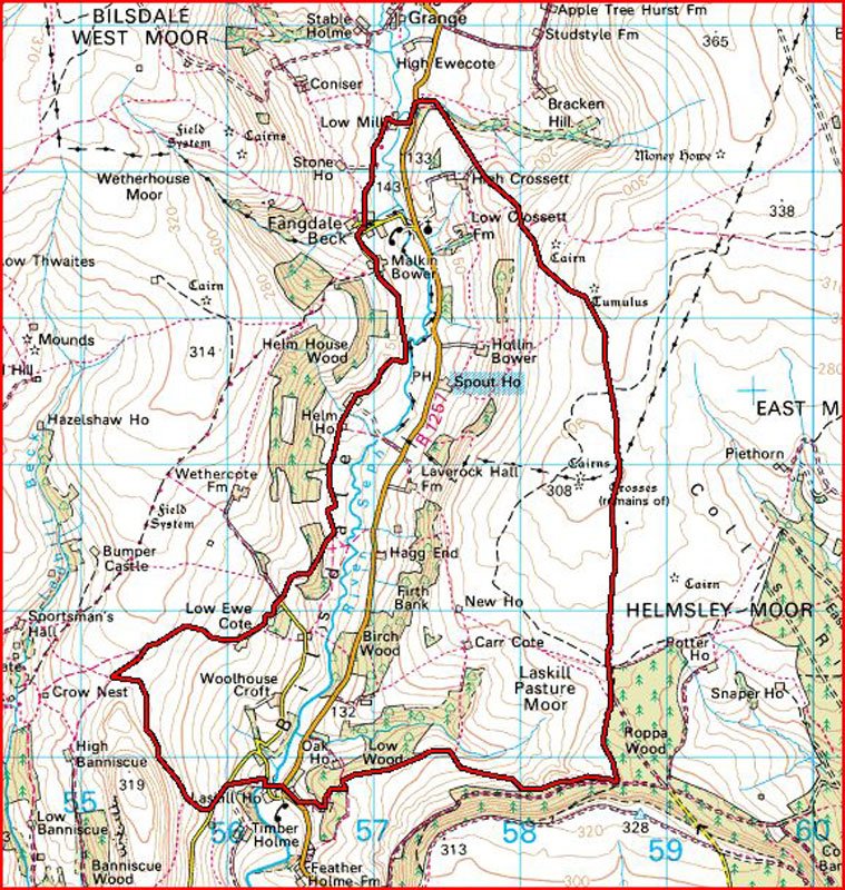
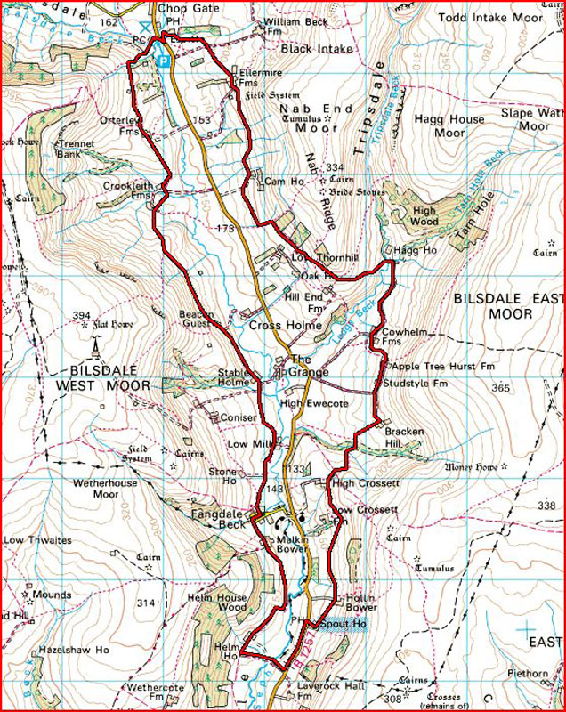
FANGDALE BECK - LASKILL BRIDGE

A 10 mile circuit of Lower Bilsdale.


HUTHWAITE GREEN - WHORLTON MOOR

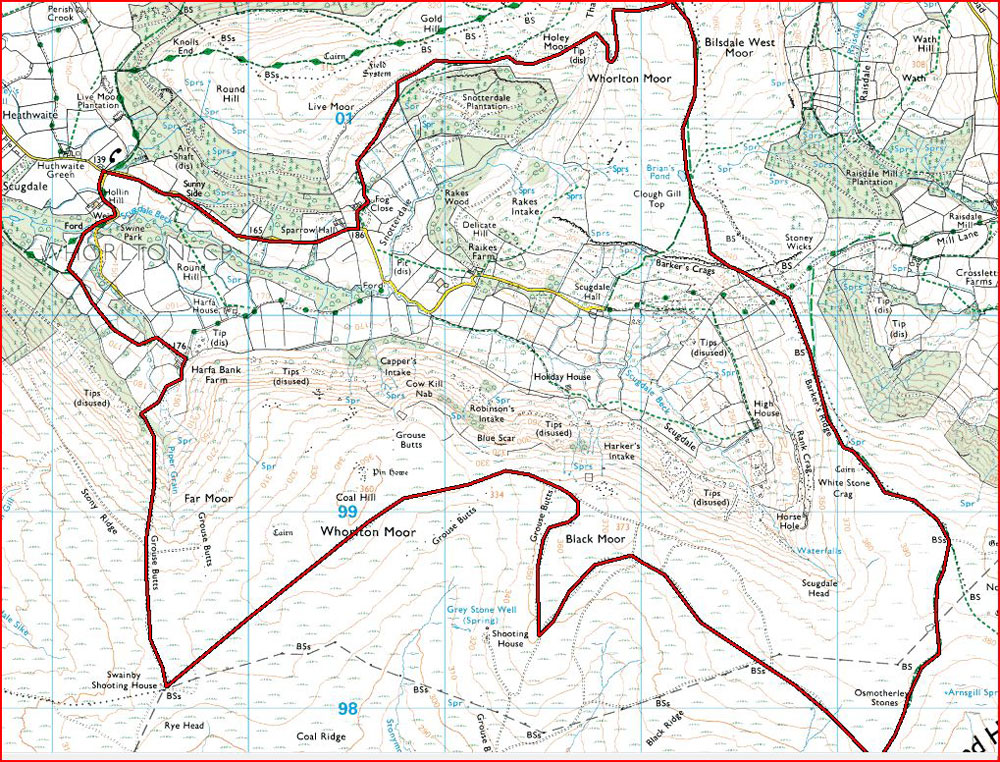
HUTHWAITE GREEN - WHORLTON MOOR

9 miles of a lesser known part of the North York Moors.
Recommended by a NY Moors Ranger.
A walk for a day with good visibility, maybe.


KIRKBY - CRINGLE MOOR

KIRKBY - CRINGLE MOOR

Walk No 12 from Alan Hall's "On Foot in the North York Moors".
10 miles (though measured at 11.0 when walked in July 2002).
Takes in the paved causeway South of Kirkby, the Donna Cross, and Carlton Bank.


PAWLAW PIKE AND FIVE PIKES

PAWLAW PIKE AND FIVE PIKES

Walk No 17 from Alan Hall's "North Pennines".
About 10 or 11 miles, - a mixture of moorland walking with some walking thro' Hamsterley Forest.
The half-way point is "The Meeting of the Grains"


PEN-Y-GHENT FROM HORTON-IN-RIBBLESDALE

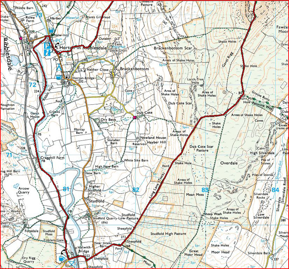
PEN-Y-GHENT FROM HORTON-IN-RIBBLESDALE

Start from Horton-in-Ribblesdale. South via Ribble Way to Helwith Bridge, then up to Pen-y-Ghent via Long Lane.

9 miles.

For clear weather only.


POCKLEY MOOR

POCKLEY MOOR

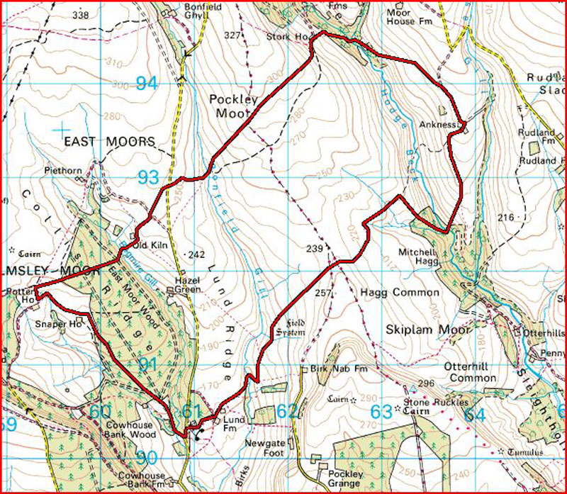
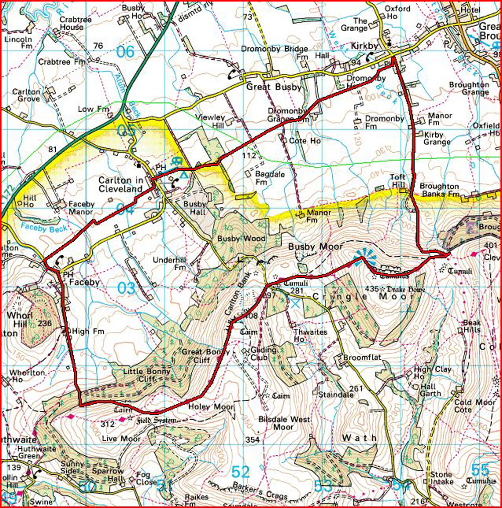
Starting from Lund Farm (North of Helmsley on the Carlton road).
A circuit that goes over Hagg Common, Pockley Moor, and East Moors.
Also goes through East Moors Woods.
No towns or villages, - pretty isolated.

9.2 miles.


UPPER ARKENGARTHDALE FROM LANGTHWAITE

UPPER ARKENGARTHDALE FROM LANGTHWAITE

A Summer-time walk, maybe.

Set out from Langthwaite and walk beside the Arkle Beck to Whaw, then on to Hill Top Farm and Dale Head Farm.
Return via High Faggergill Farm and Scar House.

9.0 miles. Not too much ascent.


WHERNSIDE

WHERNSIDE

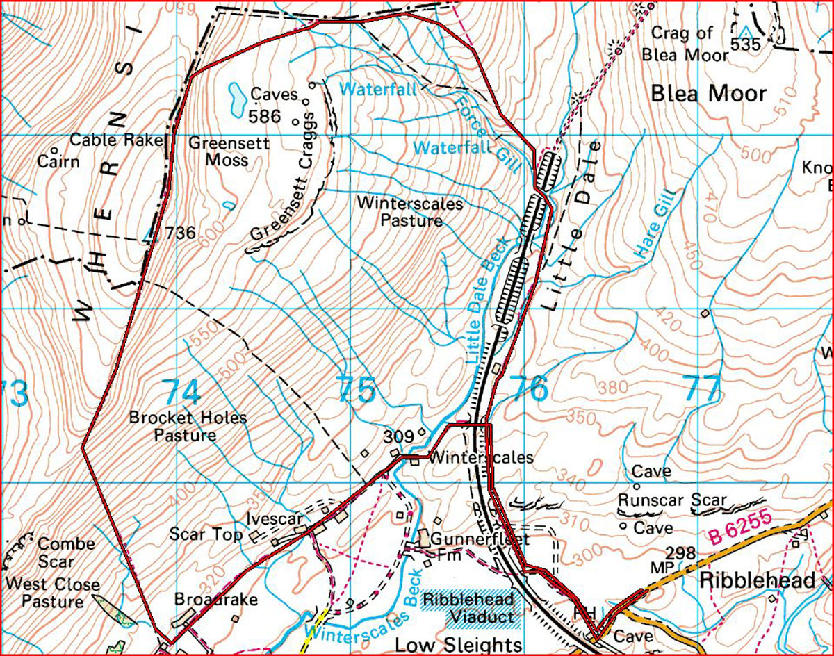
A classic walk of one of the 3 Peaks. Whernside is the highest hill in Yorkshire at 2419 ft.

8.5 miles. Fairly steep descent.

Another walk for a day with good visibility and good weather.